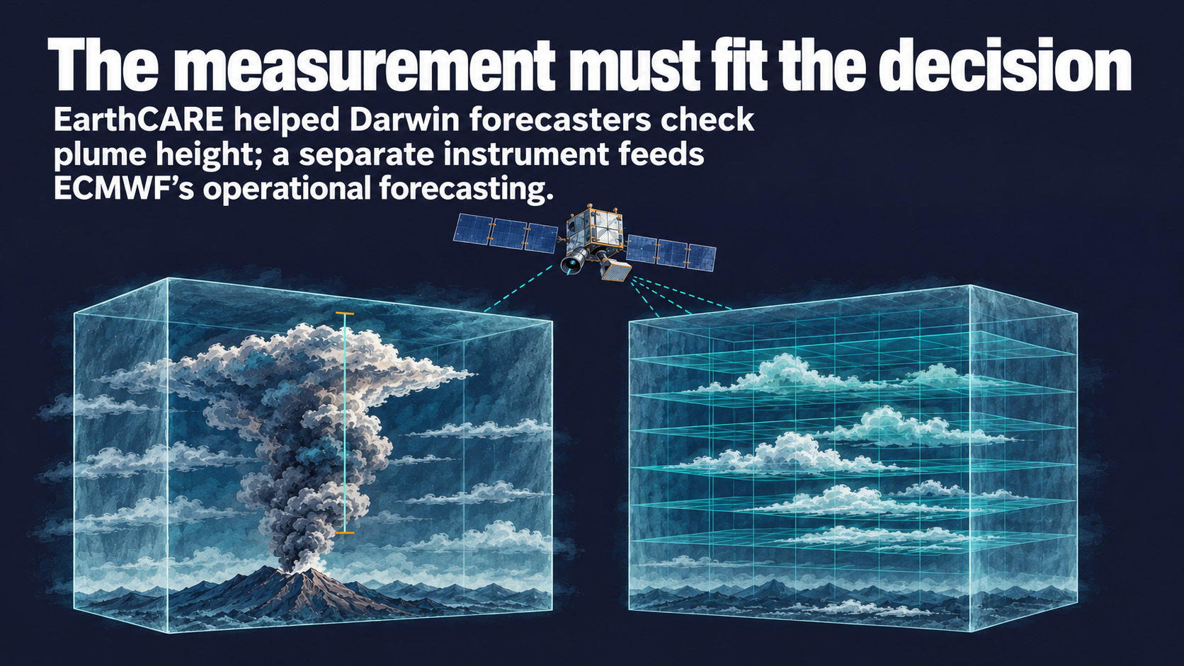
Space Insights editorial illustration of EarthCARE's distinct aviation and forecasting applications; not actual satellite imagery.
EarthCARE's contribution to monitoring September's Anak Krakatau eruption was a measurement forecasters could check against a specific uncertainty: the height of the plume. ESA's 1 October 2026 account says the Darwin Volcanic Ash Advisory Centre, operated by Australia's Bureau of Meteorology, added data from the satellite's atmospheric lidar, ATLID, to its monitoring tools. A Bureau scientist describes using it with forecasters to verify the altitude of the upper plume. ESA's event account.
That is a concrete product lesson for Earth observation teams. The value lies in supplying a measurement that resolves part of a user's existing task. Another EarthCARE application, already documented by the European Centre for Medium-Range Weather Forecasts (ECMWF), shows how the same mission can require a different route into operational work.
A vertical measurement answers an aviation question
ESA's September imagery combines the horizontal extent of the plume with vertical information from EarthCARE. ATLID sends ultraviolet laser pulses towards Earth and measures the returned light to profile atmospheric particles. For the Darwin forecasters, the reported contribution was checking the upper plume's height against forecast guidance, in time to inform aviation advice. The receiving organisation and the use of the observation are both identified. ESA's account and instrument explanation.
This gives a prospective EO service a more precise design question than whether its imagery is informative. Which variable in the customer's assessment can it check, and when does that assessment take place? In this case, vertical structure is the relevant information. A visually striking plume image and a measurement useful to a forecaster can therefore require different descriptions of value.
The published case concerns a timely observation during a particular event. For a recurring service, the corresponding product discussion would also address how reliably suitable observations reach the user. An individual successful use provides a starting point for that discussion; the service specification would establish the continuing requirement.
Model assimilation requires another form of evidence
ECMWF's 25 June account documents a separate application: EarthCARE's cloud profiling radar, CPR, entered its operational assimilation system on 10 June. Here, observations are incorporated into a numerical forecasting model to update its estimate of the atmosphere. The radar and the aviation case's lidar are different instruments. ECMWF's operational account.
ECMWF describes work to simulate how the radar would observe the atmosphere represented by the model, assess data quality and test the effect on forecasts. It reports a modest positive impact after nine months of testing, particularly in humidity and wind forecasts. That work connects an observation to a repeatable computational process and an assessed forecast outcome. ECMWF's testing and implementation.
The distinction changes what a developer has to demonstrate. A forecaster checking a specific plume needs an interpretable observation of the relevant feature at a useful time. A centre assimilating observations into its model also needs evidence that the measurement can be represented, quality-controlled and used consistently in that system. Both applications use EarthCARE data, but their acceptance questions differ.
Define the evidence with the intended user
EarthCARE was designed to study clouds, aerosols and their role in Earth's energy balance. Its four instruments give researchers complementary measurements. The operational examples reveal how particular parts of that capability become useful outside the mission's original scientific framing. ESA's mission description.
For an EO product team, the practical implication is to build the evidence around the receiving decision. A demonstration can show that a user answered a defined question with the measurement. A longer evaluation can test whether the input improves a recurring process under agreed conditions. The appropriate partner and test design follow from that distinction.
Further documented aviation uses would show how broadly the event-based application travels. Continued assessments at forecasting centres would show how the model contribution develops. Together, these records offer a useful basis for deciding which kind of validation a proposed satellite service needs to earn adoption.
Get briefings like this every Friday.
Subscribe