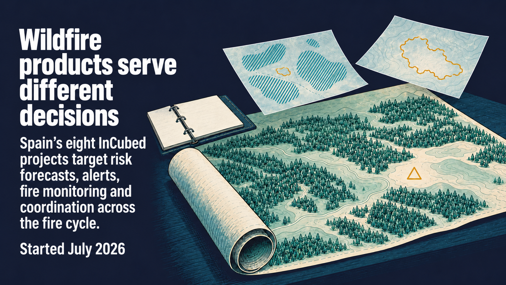
Space Insights editorial illustration of wildfire information products; not an operational risk map or a depiction of a specific fire.
The eight wildfire projects announced by ESA InCubed on 31 August 2026 address several different purchasing decisions inside the same emergency-management cycle. Their stated objectives suggest opportunities to combine information products with operational platforms, alongside potential overlap in forecasting and coordination. ESA says the projects began in July and received EUR 3 million in aggregate awards under the joint initiative with the Spanish Space Agency. ESA's cohort announcement.
The Spanish agency's 3 September account gives a broader figure of EUR 5.93 million in total mobilised project budget. The EUR 3 million is the separate award total reported by ESA. The announcements establish funded development and intended applications. Spanish Space Agency account.
Eight projects, several points of use
Earth observation turns measurements from satellites into information about conditions on the ground. A wildfire service can use that information before ignition, during an incident or after the event. The table maps all eight projects by their proposed role. It names selected developers; the user and decision categories are an editorial reading of the published aims.
| Project and selected developer | Intended user or decision stage | Proposed product or contribution |
|---|---|---|
| FireTwin — Agresta | Prevention teams prioritising areas and resources | Updated vegetation and fuel-moisture risk information, with short-term forecasting |
| FirEOcast — isardSAT | Preparedness and planning teams assessing danger | Satellite fuel information combined with weather modelling |
| EO4PYRO — COTESA | Authorities and infrastructure operators, before and after fires | Cloud platform for risk, vegetation, fire behaviour and environmental impacts |
| FIREWISE — ARQUIMEA Research Centre | Satellite processing feeding early-alert services | Onboard foundation models intended to produce faster alerts with uncertainty information |
| PiroSAR — Telespazio Ibérica | Incident teams tracking an active fire | Radar-based fire-front, perimeter and evolution information |
| DVSTAI thermal-infrared extension — Thales Alenia Space España | Local and regional monitoring users | Configurable multispectral and thermal analysis, alerts and potential-impact maps |
| FIREAI-OPS — GEOAI Analytics | Emergency teams coordinating observations and response | Shared environment combining observation sources, AI and physical fire modelling |
| Horizon Wildfire Insights — Airbus Secure Communications, Airbus GeoTech, Vexiza and B2Space | Agencies coordinating across the fire lifecycle | Shared environment combining observations, field reports and critical communications |
Project descriptions: ESA InCubed and Spanish Space Agency. These are development objectives, with validation and deployment to be established for the particular use.
Complementarity depends on the receiving workflow
The distinction between an alert and an operating environment is commercially useful. A FIREWISE alert could be an input to a coordination service. PiroSAR's intended front observations could update the same incident picture from another measurement source. That is a potential product relationship inferred from the roles; integration would depend on interfaces, availability and the recipient's requirements.
The purchasing questions differ. An alerting service has to deliver a useful indication with interpretable confidence. A front-monitoring service has to supply the location and evolution information required for the incident decision. A coordination platform has to reconcile those inputs with other observations and the team's working procedures. Describing all three as wildfire monitoring obscures what the customer is actually buying.
DVSTAI offers a further distinction. Its existing InCubed portfolio describes a configurable environment where users create and refine image-analysis models and schedule processing. The wildfire activity extends that product towards thermal and multispectral use. Its prospective value therefore includes giving users control over analysis tasks, alongside the information those tasks produce. DVSTAI's existing product description.
Potential overlap is most visible within a decision stage
FireTwin and FirEOcast both seek to improve the information used before a fire, with vegetation or fuel conditions contributing to risk assessment. FIREAI-OPS and Horizon Wildfire Insights both describe shared environments for combining information and supporting response. Those similarities identify useful comparisons for a prospective customer: the intended decision, update interval, input sources and means of delivering the result.
They also leave room for different products. Separate user groups may require different geographic coverage, integration arrangements or ways of interpreting uncertainty. The cohort descriptions establish neither actual head-to-head competition nor an agreed combined service. The commercial question is which product boundary survives contact with a named user's workflow.
A useful next milestone would be a documented user trial showing how a forecast, alert or front observation reaches an operational decision, including delivery timing and uncertainty. For suppliers, that evidence would help distinguish a component that fits another service from a platform the customer wants to procure directly.
Sources
- 1.Eight new Earth observation-based wildfire applications co-funded by ESA InCubed — European Space Agency InCubed
- 2.La Agencia Espacial Española y ESA InCubed impulsan ocho proyectos de observación de la Tierra frente a los incendios forestales — Agencia Espacial Española
- 3.DVSTAI: Deeper Vision Self-Trained AI — European Space Agency InCubed
Get briefings like this every Friday.
Subscribe